
President Donald Trump’s executive order renaming Lake Ontario “Lake America” creates a problem that cannot be solved by changing a label on a map.
According to CBS News, the order, signed Thursday, directs Interior Secretary Doug Burgum to update the Geographic Names Information System, or GNIS, so the lake appears under its new name for U.S. federal use. Trump said the change would take effect immediately. The White House used a similar approach for the Gulf of Mexico, renamed the “Gulf of America” in a January 2025 executive order. (CBS News; White House)
The visible dispute is political. The less visible problem is technical: geographic names are embedded in databases, software, maps, navigation systems, emergency records, scientific datasets, search indexes, and cross-border data exchanges. Changing one name can create a web of mismatched identifiers and conflicting records.
The order may change what the U.S. government calls the lake. It cannot automatically change what Canada, international organizations, private companies, or existing datasets call it. That gap is where the technology problems begin.
The first problem: a name is not the same as an identity
A modern geographic information system usually stores more than a text label. A feature may have a unique identifier, coordinates, geometry, feature class, official name, alternate names, language variants, and historical names.
That distinction matters. If Lake Ontario receives the label “Lake America,” the underlying geographic object should remain the same lake, with the same shoreline, coordinates, basin relationships, and boundary data. A well-designed database would update the preferred name while preserving the feature’s identity and its former name as an alias or historical label.
If a system instead treats the renamed lake as a new object, it could create duplicate records. Older data would point to “Lake Ontario,” while newer data would point to “Lake America.” Software could interpret those names as two separate features, making it harder to join datasets or retrieve a complete historical record.
The U.S. Board on Geographic Names’ own guidance illustrates why this matters. Its proposal instructions require a name-change request to identify the existing GNIS name and Feature ID, rather than treating a name as an isolated string. (USGS, “Instructions for Geographic Names Proposal Submissions”)
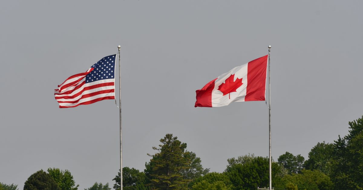
The safest technical implementation would therefore preserve the existing feature identifier and geometry, add “Lake America” as the current U.S. federal name, and retain “Lake Ontario” as a recognized former or alternate name. The CBS report describes the order’s direction to update GNIS, but does not explain how historical and alias data will be handled. (CBS News)
GNIS is a federal naming database, not a global switch
The GNIS functions as a federal reference system. The Board on Geographic Names exists to standardize geographic names for federal use, including names used on government maps and publications. Its published principles describe the value of consistent names across government, business, communications, and education. (USGS, Domestic Geographic Names: Principles, Policies, and Procedures)
That standardization has a defined scope. The USGS says the Domestic Names Committee handles place names within the United States and its dependent areas. CBS reported that the president can require the federal government to use “Lake America,” but cannot force Canada, international bodies, or private companies to adopt it. (USGS, “Guidance on Name Proposals”; CBS News)
This creates a split naming environment:
- U.S. federal systems may prefer “Lake America.”
- Canadian systems may continue using “Lake Ontario.”
- International datasets may retain “Lake Ontario.”
- Private mapping services may support both names, one name, or neither.
- Older documents and scientific records will continue to use “Lake Ontario.”
- Users may search for one name while a database stores another.
That is not necessarily a failure. Geographic databases routinely manage alternate names. The problem arises when systems exchange only a single text field and lack a stable identifier or alias table.
Search and geocoding systems may become less predictable

When a person types a place name into a mapping or search application, the system performs more than a simple text lookup. It may normalize spelling, match aliases, rank results, infer the user’s location, and connect the result to a geographic object.
A sudden name change creates several possible behaviors. A search for “Lake Ontario” might return the lake under its new U.S. label. It might return a historical result. It might produce separate results for the U.S. and Canadian sides. Or it might fail if a provider has not updated its database.
The most reliable implementation would treat both names as search aliases and return one geographic feature. Search systems should also indicate which name is being used, by which authority, and during which period.
That last point matters for records and research. A news archive, environmental study, shipping log, or property document written before the order should remain discoverable under “Lake Ontario.” Replacing the old name everywhere could damage search quality and make historical material harder to find.
A database that overwrites the old name also loses information about when the change occurred and which authority made it. In data-engineering terms, the system needs temporal metadata, not merely a new current-value field.
Where this story sits
5 related pieces
Read it →
Hover a story · click to read
 No. 38 · Sep 5, 2026The Architecture of Loyalty: How Trump's Coalition Absorbs Every Shock
 No. 41 · Sep 7, 2026Stress-Testing the American Empire: Real Decline or Cyclical Strain?
 No. 13 · Aug 26, 2026America's Invisible Clock: What Happens If GPS Timing Fails?
 No. 33 · Sep 5, 2026U.S.-China AI talks could make autonomous cyberattacks a matter of strategic stability
 No. 46 · Sep 13, 2026Could a "Rogue AI" Cyberattack Push America Onto Stablecoin Rails?
Maps and charts have different update cycles

Digital maps are not a single product. Road maps, hydrographic charts, aviation databases, weather products, environmental maps, government web maps, and commercial navigation applications are maintained by different organizations on different schedules.
An executive order can change the U.S. federal naming preference, but it does not instantly update every map tile, chart, offline navigation package, printed map, or embedded database.
That creates a versioning problem. A vessel, aircraft, emergency agency, or researcher may use a dataset downloaded weeks or months earlier. Another system may use a newer dataset with “Lake America.” Both may refer to the same coordinates while displaying different names.
The technical answer is not to force every system to update simultaneously. It is to publish a clear transition record containing:
- the stable geographic identifier;
- the previous name;
- the new federal name;
- the effective date;
- the authority for the change;
- geographic coordinates or geometry; and
- the jurisdictions or products to which the change applies.
Without that metadata, users may mistake a naming difference for a location difference.
Cross-border data exchange becomes harder
Lake Ontario is shared by the United States and Canada. ABC News reported that the lake is jointly managed through the International Joint Commission and the Great Lakes Water Quality Agreement, while New York and Ontario govern their respective shorelines and portions of the lakebed. (ABC News)
Cross-border systems therefore face a semantic mismatch. A U.S. agency may send a data record using “Lake America,” while a Canadian agency’s software expects “Lake Ontario.” If the receiving system validates names against a fixed list, the record may be rejected or flagged. If analysts join datasets by names rather than identifiers, records may fail to match.

This risk extends beyond government. Environmental monitoring, water-quality reporting, flood models, fisheries research, infrastructure planning, and emergency coordination all depend on exchanging geographic references.
The lake’s physical data will not change. Its name field will. Systems that understand geographic identity will handle that distinction. Systems built around literal text matching may not.
Emergency communications could expose the difference between a label and a location
A name mismatch does not automatically create a public-safety failure. Coordinates, addresses, jurisdictional boundaries, and feature identifiers usually provide stronger location references than names alone.
Still, names appear in dispatch software, incident reports, public alerts, search tools, radio communications, and written instructions. During a fast-moving event, two agencies using different names for the same waterway could create avoidable confusion.
The risk is greatest when a system displays only one name and offers no alias. A responder searching for “Lake Ontario” might receive a result labeled “Lake America,” while another agency’s report uses the older name. Humans can usually recognize the equivalence. Software may not.
A transition period with both names displayed would reduce that risk. So would an explicit notice in operational databases stating that “Lake America” and “Lake Ontario” refer to the same geographic feature.
Historical and scientific data should not be rewritten

Lake Ontario appears in decades of scientific literature, environmental measurements, legal records, maps, photographs, and public datasets. Those records are evidence of how people described the lake at a particular time.
A responsible database migration should preserve the original wording in source records. It should add searchable aliases and perhaps provide a cross-reference table, rather than rewriting historical documents as if they had used the new name.
This is a familiar problem in archival technology. A database may need both a current preferred name and a historically accurate original name. The two fields serve different purposes:
- the preferred name supports current federal operations;
- the historical name preserves the source record;
- aliases support search and interoperability; and
- effective dates explain the transition.
Deleting the former name would make the system less accurate, not more.
The order creates a data-governance question
The USGS guidance says name changes generally require a compelling reason and evidence of support. It also describes a proposal process that can take a minimum of six months. (USGS, “Guidance on Name Proposals”)
The executive order presents a different path by directing the department to update the federal database directly, according to CBS News. That difference raises a governance issue for information systems: which process determines the authoritative value in a shared database, and how are exceptions recorded? (CBS News)

Technical teams need more than a new spelling. They need an auditable change record showing:
- who authorized the change;
- when it became effective;
- which systems must adopt it;
- whether the change applies only to U.S. federal usage;
- how alternate and historical names should be represented;
- how external users can obtain the updated data; and
- how corrections or future reversals would work.
Without that record, downstream developers may copy the new label without understanding its limited jurisdictional scope.
Automated systems will inherit the ambiguity
Many software systems consume geographic names automatically. They import gazetteers, train language models on maps and documents, generate summaries, classify satellite imagery, and connect news reports to locations.
Those systems are especially vulnerable to inconsistent naming. An automated tool might treat “Lake America” and “Lake Ontario” as separate entities, associate one name with U.S. records and the other with Canadian records, or incorrectly conclude that the lake itself has changed.
The remedy is entity resolution: systems should link both names to the same stable geographic object. Human-readable names remain useful, but they should not serve as the only identifier.
This is the central technical lesson of the order. A geographic name is an interface for people. The underlying identity belongs in coordinates, geometry, jurisdictional data, and persistent identifiers.
What a safe implementation would look like
A technically careful update would:
- preserve the lake’s existing geographic identifier;
- add “Lake America” as the U.S. federal preferred name;
- retain “Lake Ontario” as a former, alternate, or cross-border name;
- publish the effective date and legal authority;
- expose both names through search and APIs;
- document the geographic scope of the change;
- notify agencies that exchange Great Lakes data;
- update machine-readable gazetteer files, not just public web pages;
- maintain backward compatibility for older records; and
- test geocoding, map display, emergency search, and data-matching workflows.
That approach would allow the U.S. government to follow the order without pretending that one country’s database can redefine an international waterway for everyone.
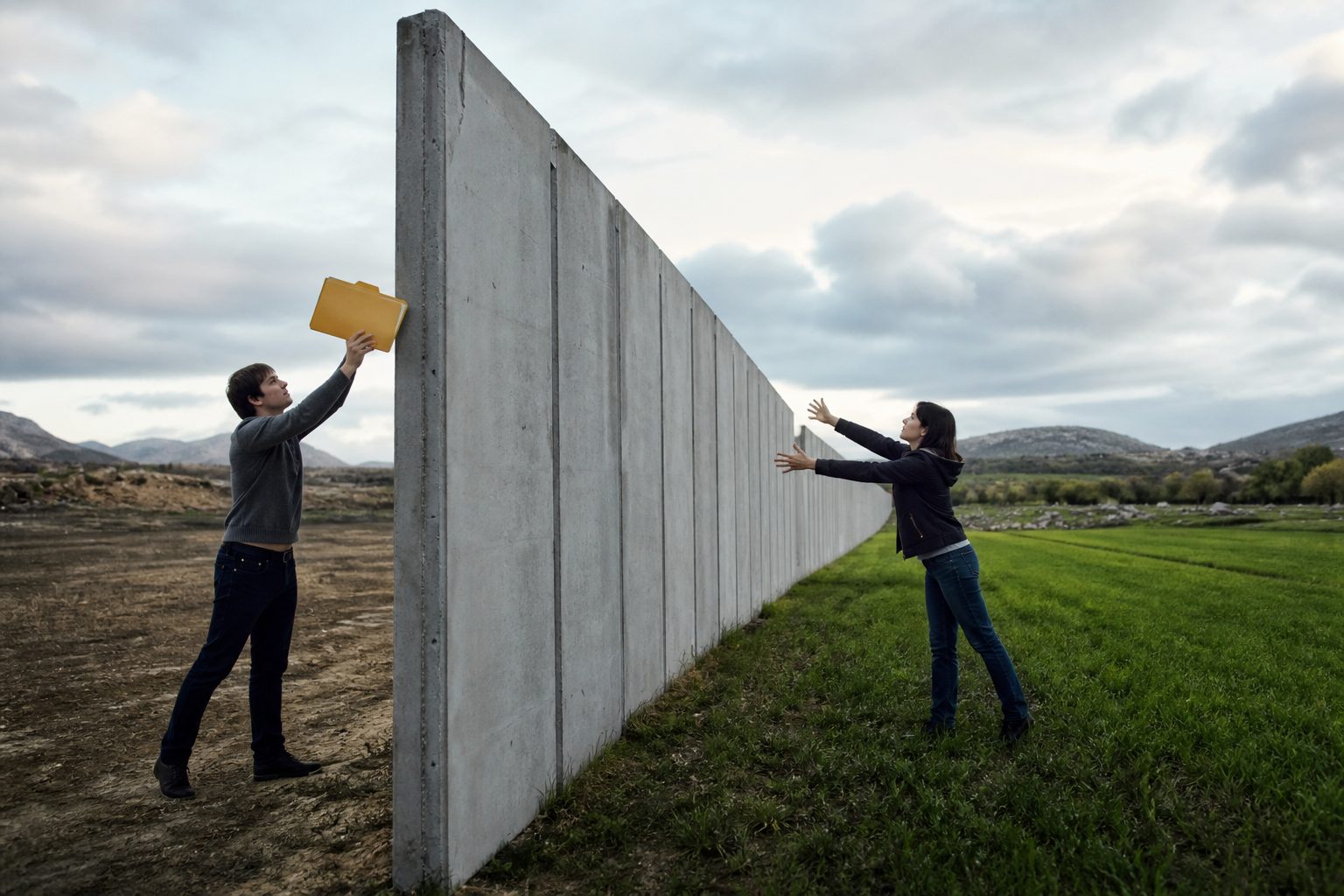
The political argument may continue over what the lake should be called. The engineering answer is less ideological: preserve the object, record the change, retain the aliases, and make the limits of the new name explicit.
The lake’s coordinates will remain the same. The difficult part is making sure every system understands that.
Sources / References
- CBS News. “Trump signs executive order to rename Lake Ontario ‘Lake America.’” August 27, 2026. https://www.cbsnews.com/news/trump-executive-order-lake-ontario-lake-america/
- ABC News. “Trump floats renaming Lake Ontario to ‘Lake America,’ denies claim he’d interfere with Canadians speaking French.” August 25, 2026. https://abcnews.com/Politics/trump-floats-renaming-lake-ontario-lake-america-denies/story?id=135932301
- The White House. “Restoring Names That Honor American Greatness.” January 20, 2025. https://www.whitehouse.gov/presidential-actions/2025/01/restoring-names-that-honor-american-greatness/
- U.S. Geological Survey, U.S. Board on Geographic Names. “Guidance on Name Proposals.” https://www.usgs.gov/us-board-on-geographic-names/guidance-name-proposals
- U.S. Geological Survey, U.S. Board on Geographic Names. “Instructions for Geographic Names Proposal Submissions.” https://www.usgs.gov/us-board-on-geographic-names/instructions-geographic-names-proposal-submissions
- Orth, Donald J., and Roger L. Payne. Domestic Geographic Names: Principles, Policies, and Procedures. U.S. Board on Geographic Names, online edition revised 2003. https://www.nps.gov/subjects/wilderness/upload/Board-of-Geo-Names_508.pdf
Comments (3)
Continue exploring
America's Invisible Clock: What Happens If GPS Timing Fails?
The Night the Clocks Went Wrong in San Diego On a January evening in 2007, residents of San Diego, California, began noticing…
U.S.-China AI talks could make autonomous cyberattacks a matter of strategic stability
Reuters reports the U.S. and China are preparing a mid-September AI safety dialogue. What it can realistically deliver: an…
Could a "Rogue AI" Cyberattack Push America Onto Stablecoin Rails?
A cyberattack blamed on rogue AI could accelerate America's shift toward stablecoins and tokenized deposits, and the legal…
Has anyone actually seen how the Gulf of America renaming from January played out in practice, since that seems like the closest real-world test for whether the Feature ID approach really holds up?
I work with municipal GIS data and I've watched plenty of supposedly straightforward name updates create phantom duplicate records in our systems within months, even when vendors swore the Feature ID would be preserved. So I'm skeptical that GNIS will be cleaner at scale, especially with all the downstream systems pulling from it.
I wonder about the physical stuff the article doesn't really cover, like NOAA weather buoys, shipping lane designations, FAA charts, and printed nautical maps that all carry the old name. A database field is easy to flip, but you can't patch an identifier a buoy is broadcasting in real time or one that's baked into a printed chart.